


Terrain
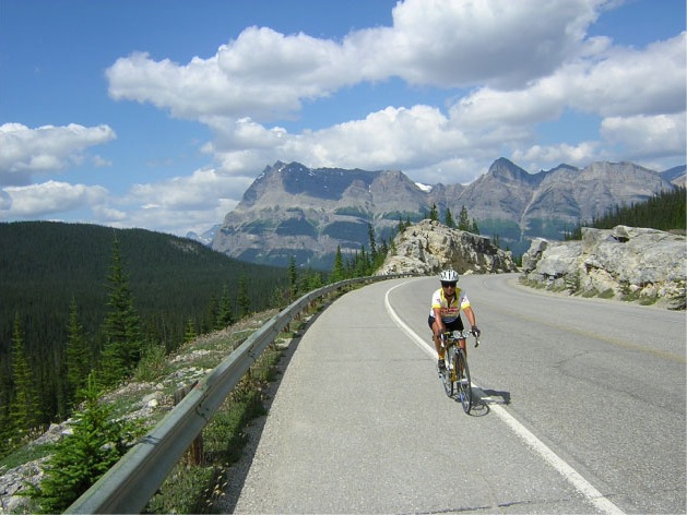
The elevation at Kamloops is 350 metres. The route climbs gradually through rolling hills, following the North Thompson River from Kamloops north through Clearwater and Blue River. After Tete Jaune Cache, riders will turn east to enter the Rocky Mountains where the climbs are more significant. In addition to the climb to Bow Summit, the highest point along the route at 2068 meters, there are four major mountain passes: Yellowhead (1146 m), Sunwapta (2035 m), Kicking Horse (1647 m) and Rogers (1330 m). The final 200 km after leaving the mountains are a mixture of rolling hills and gradual descents.
Photo: Roger Holt - Climbing Bow Pass
