| Newsletter - 2023 Archive |
Cycling Club |
 |
| Newsletter - 2023 Archive |
Cycling Club |
|
Next--->
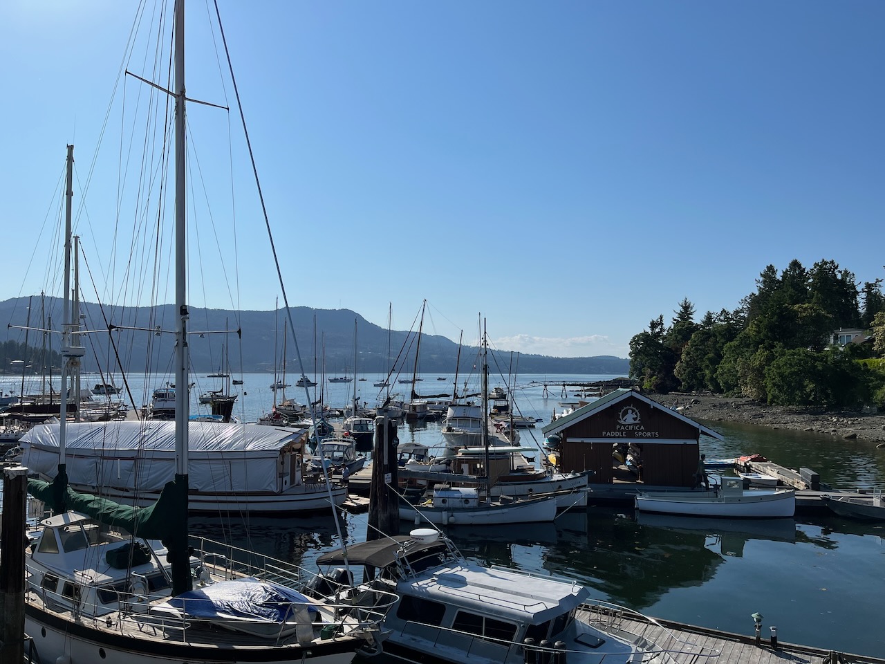 Five Ferries 600 The idea was slightly crazy. Ride a non-stop, 600 km loop on Vancouver Island and the Sunshine Coast. The route has 5 ferry crossings, so everything would have to be designed around the ferry schedules. The plan was to get the last ferry of the day to Mill Bay, ride through the night to Comox and arrive in time for the first ferry to Powell River. From Powell River, ride quickly to the Saltery Bay-Earl's Cove ferry, then continue down the Sunshine Coast to the Langdale-Horseshoe Bay ferry. From Horseshoe Bay, ride to Tsawwassen via the Alex Fraser Bridge in time for the last crossing to Victoria. Each leg required an average speed of about 20 km/hr to make it work. The final constraint was to design the course like a brevet, which meant that the rider would always be above the 15 km/hr pace without getting any time relief for the ferry crossings. Leg 1: Around the Peninsula The ride started in downtown Victoria on a perfect afternoon, it was sunny, warm and calm. The course followed some well-worn cycling routes through Victoria, Oak Bay, Saanich and around the end of Peninsula. The route had only a few traffic lights and stop signs, which meant that maintaining a good average speed was easy. There was a bit of everything, downtown hustle and bustle, quiet residential, soothing forests, verdant farmland and spectacular ocean views. The leg ended in picture perfect Brentwood Bay. A nice little warm-up. 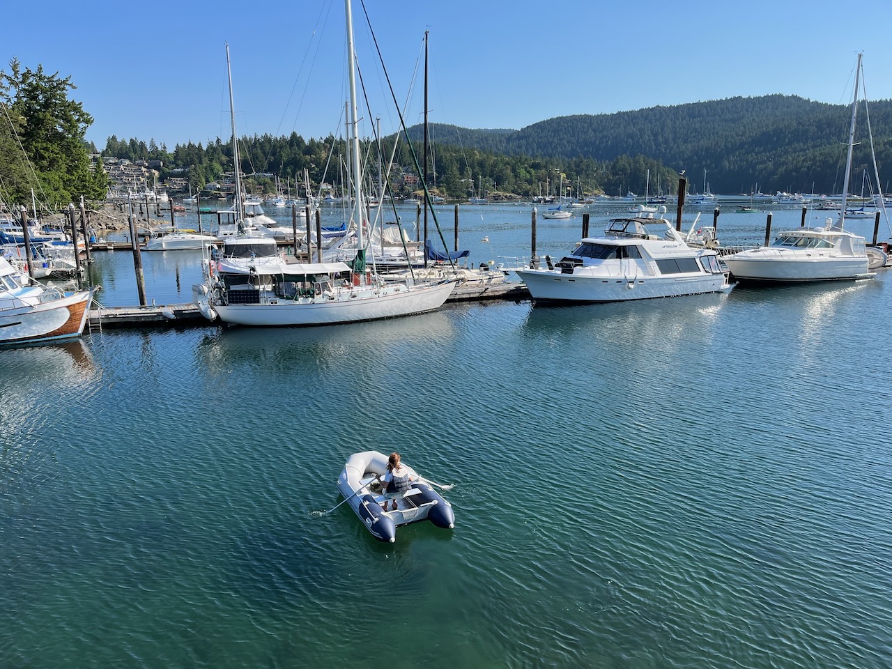 Brentwood Bay Leg 2: A Long Night At over 200 km, this was the longest leg of the trip. The first part was on pleasant rural roads through Cowichan Bay and Chemainus to Ladysmith. I was happy to get through Richard's Trail in daylight. It's a lovely road but the pavement has seen better days. I reached Ladysmith in twilight. At Ladysmith there is a short Highway 1 section to the Cedar Road exit. By the time I reached Cedar Road, it was dark and starting to cool off. Time to add a layer. 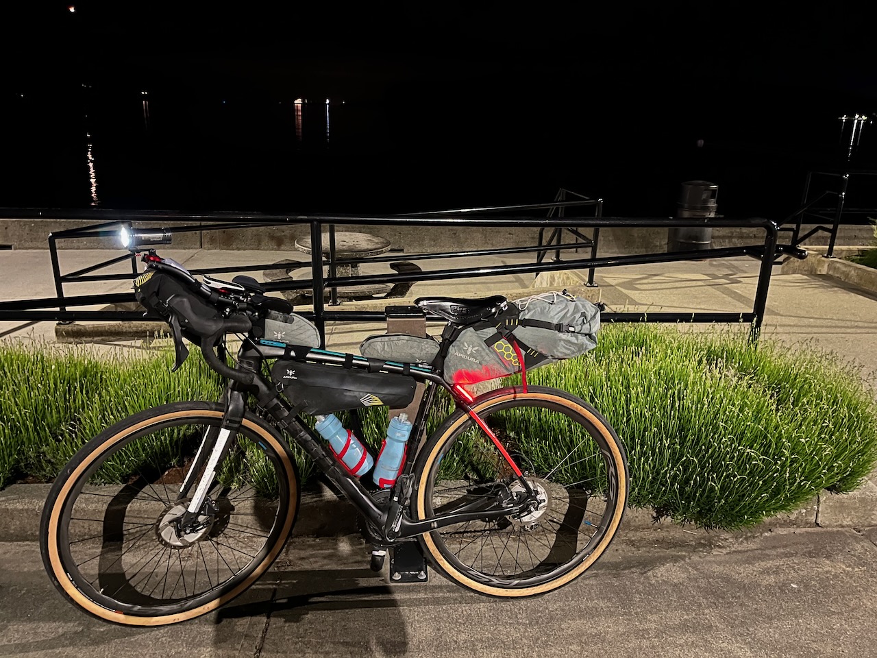 Nanaimo - Departure Bay Beach I stopped at A&W in Nanaimo. It wasn't the best food to have in the middle of a ride but it was my last chance to eat before Comox. Pretty much everything along the route was closed for the night. Nanaimo is hilly. I don't think it matters which route you take, there is no avoiding the hills. After Lantzville there is another unavoidable Highway 1 section around Nanoose Bay. At the Northwest Bay Rd exit, I stopped and bought a Gatorade. I didn't need it but there weren't many 24-hour stores that I could count on after that. From Qualicum Beach to Comox, I didn't know of anywhere that I could fill my bottles. The nighttime riding was pleasant... and quiet, I had the road all to myself. Around 2:00 AM I started to feel sleepy. The hardest part was the flat section from Bowser to Royston. I had a control at Buckley Bay so I told myself to push through it, get to Buckley Bay. I tried singing, reciting poems, talking out loud, anything to keep myself awake. I dawdled at the Buckley Bay control, added some layers and considered having a nap. But I was so close to Comox that I knew I could push through. There was already a faint glow in the eastern sky when I left Buckley Bay. At Union Bay, the first colours of dawn were appearing in the sky. The fishing boats on their moorings were silhouettes floating in a sea of shimmering colour. Beyond them, the mountains were silhouetted by the colourful sky. Birdsong filled the air. I think I experienced a microsleep on the flat section of Comox Road. Fortunately, I stayed on the road and seemed to hold my line. It was, nonetheless, disturbing. I only had a few kilometers to go but I had to do something to prevent that from happening again. The solution was just ahead - the hill climb into Comox. I discovered that getting my heart rate back up was a perfect solution. The terrain kept me awake all the way to the ferry terminal. The long night was behind me. At the ferry terminal, I had a protein bar, put on flip flops - yes, that would be socks and sandals - and organized my food for the next leg. Once on the ferry, it was straight to the cafeteria for a big breakfast. After that, I found a seat in a corner where I could rest my head on the wall and tried to sleep. Why is it always so cold on BC Ferries? I pulled out my down jacket and tried again. I was startled awake by the arrival announcement. Leg 3: The Sprint This was the shortest leg. I assumed I would need to arrive at least 10 minutes ahead of the sailing to guarantee getting on. 31km in 90 minutes was easily doable on flat roads. But in 31 km, this road packed in 615 m of ascent. I knew I was going to have to ride hard to make it. Which is what I did. Second breakfast and another sleep on the ferry. Leg 4: The Sunshine Coast The hill climb out of the ferry terminal was hard. That pretty much characterized the entire ride to Langdale. I was tired, my legs just didn't have the strength for the relentless hills. Did I ride the last leg too hard? I resigned myself to missing the 3:35 ferry. It took the pressure off and allowed me to plod along at a sustainable pace. Regardless it was still a difficult ride. The kind of ride that you wonder if it will ever end. One part of the route, I think it was Redrooffs Rd, had some outrageous grades. At one point I was just too exhausted to face it and pushed my bike up the hill. There is simply no end to the hills. The 3:35 ferry was out of reach... except every time I looked at my average speed, I was slightly ahead of the pace I needed to make it. It wasn't until Gibsons that I finally conceded that I was going to make it.  Gibsons I arrived at the ferry terminal at 2:55. The 3:35 ferry was late, which meant I would need to make good time through Vancouver to make it to Tsawwassen before the last ferry of the night. The ferry crossing to Horseshoe Bay was long enough for a big meal but too short for a nap. Leg 5: Vancouver Marine Drive is the kind of road I live for. The ascents are not too daunting, and the descents are thrilling - fast and winding. For a time, I forgot how tired I was and enjoyed the ride. Two cruise ships sailed under the Lions Gate Bridge as I approached. The ride through Stanley Park was fast and easy. On the streets leading up to the Burrard Street Bridge there was the occasional delay at traffic lights but it felt like I was doing well. If I was behind the pace, I had two options; ride to the end and spend the night in Tsawwassen or take BC Transit to the ferry terminal. Before I left Langdale, I had decided on the BC Transit option. I set a go/no go decision point where my route went by the Olympic Village train station. I was 45 minutes behind the pace. No go. My ride ended at 437 km. I suppose I could still have completed the last Vancouver Island leg of the ride but I was too tired and it seemed pointless. Will I try again?
Go to:
Permanents Temporary Results Page May 30, 2023 |