| Newsletter - 2013 Archive |
|
|

|
Cycling Club |
|

|
| Newsletter - 2013 Archive |
|
|
|
Cycling Club |
|
|
Next--->
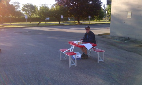
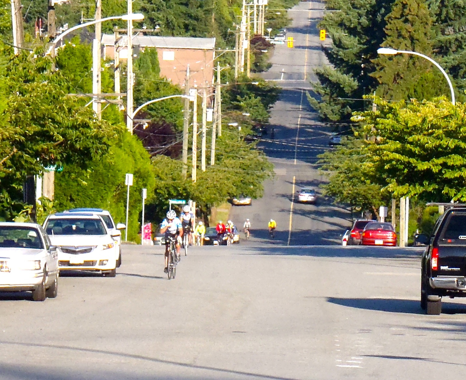
Triple 'S' Organizer's Report There is little doubt that riders found the hills and the total elevation gain on the challenging side.
Kevin said he found the climbing on this route harder than those encountered on his Ridiculous -200 with it's BIG, LONG climbs. The Aug. 17 - 200 he is organizing is a variation of the Ridiculous. It will be interesting to compare the two. As for navigation, Cheryl L. and Eric F. , both seasoned rando riders, said this was a route that required constant attention and was great training for challenges like PBP and LEL. Interestingly Rick den B. rode it ( as he does on so many brevets) with no cycle computer. He uses his watch and his sense of speed ( flat/fast, uphills/slow, dowhills/ very fast), the route sheet details and visual clues to follow the designated route. His mantra is ‘trust the route sheet’. He doesn't commit to a turn unless he is damned sure he is doing the right thing. This is not foolproof and when he then finds himself in doubt he rides back to the last turn he was absolutely certain was correct, he reassesses then moves on. It works for him! We asked for and appreciated feedback and comments on the route and the route sheet. There were suggestions that made great sense, at least we think so. Before this course poted to the Route Archives we intend to note these recommendations. For riders wanting to do a challenging permanent or just ride where most randonneurs have likely not gone before this route will be posted to the Permanent Route list.
July 16, 2013 |