| 1000 km Routes Page |
|
| 1000 km Routes Page |
|
|
0 Vancouver
92 (75 hour limit) |
In either direction the route is a difficult one with lots of climbing. The elevation profile, below left, covers the hilly middle portion of the route. The passes are subject to extreme weather conditions, even in the summer.
*Coleman is in the Municipality of Crowsnest Pass, Alberta. I've never been there - it is just a dot on the map that happens to be at the right distance. If you are unable to find a final control location, press on to Blairmore, Frank, or Bellevue which are all in the next short stretch of Highway 3. You hit Crowsnest Pass summit (1382m) at ~989 km. [Local Chamber of Commerce: http://www.crowsnest-pass.com/]
Getting Home: Always a problem when a one-way route finishes in a remote location. In the case of this route... after you hit Coleman, it's at least 225 km to the Calgary Airport (North on #22.) It's about 140 km to the Lethbridge Airport (continue East on #3.)
Some Reflections about the 2003 staging of this event:
Getting Home The west to east version of this route was the designated Lower Mainland 1000 in 2003, and the east to west route was the Southern Interior 1000. This was scheduled, in part, to make the one way route possible. John and Danelle drove their van to Sparwood delivering drop bags along the route for themselves and any other interested riders. Eric and Michel rode the west to east route and drove the van back to Vancouver. (Will Roberts also rode west to east, and then home to Seattle through Washington State.) Five riders - all finished.
Why Sparwood? According to BC Randonneur rules, the 1000 needed to start within the province - this is why John and Danelle started in Sparwood, the closest town to the pass on the BC side. They did not want to begin by going the Crowsnest Pass because this control would have been too close to the start - a simple mechanical problem near the start would have put them outside the time limit and the ride would be forfeit. They began by heading east on highway 3 and added extra distance by going to Nelson after Salmo instead of over Bombi Summit. The weather was cold and damp and they encountered some strong headwinds. The route was several kms short when they arrived in Burnaby - they continued along #7 for several kms to complete the full distance.
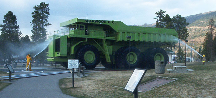
Border Photo as Control Proof With the van in Sparwood the west to east group decided to finish in that town while retaining Crowsnest Pass as part of the route. As control proof, the three riders were to photograph themselves beside the Crowsnest Summit sign or the BC/Alberta Border sign, and then return to Sparwood. This makes the route a little longer than going to Coleman Alberta - the final distance in 2003 was ~418 km. The weather was cold and damp but they had some strong tailwinds.
Rumble strips warning In a May 2003 e mail, Barry Bogart wrote: "The WORST rumble strips I have seen are on Rte 3 in the Cranbrook-Fernie-Sparwood area (listening, Eric?). They have about 12" wide rough, deep groves cut into a shoulder only 15" wide in places. And much of it looks like the cutter was drunk as they snake all over the shoulder if it IS wider than 15". I wish I had taken a picture. And they only disappear for a few feet each side of those narrow shoulderless bridges. Barry "